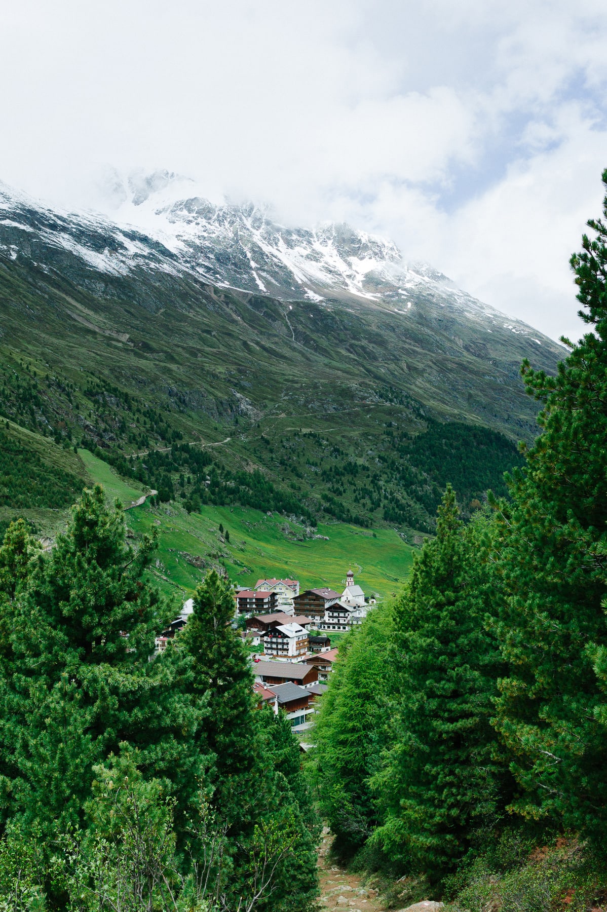
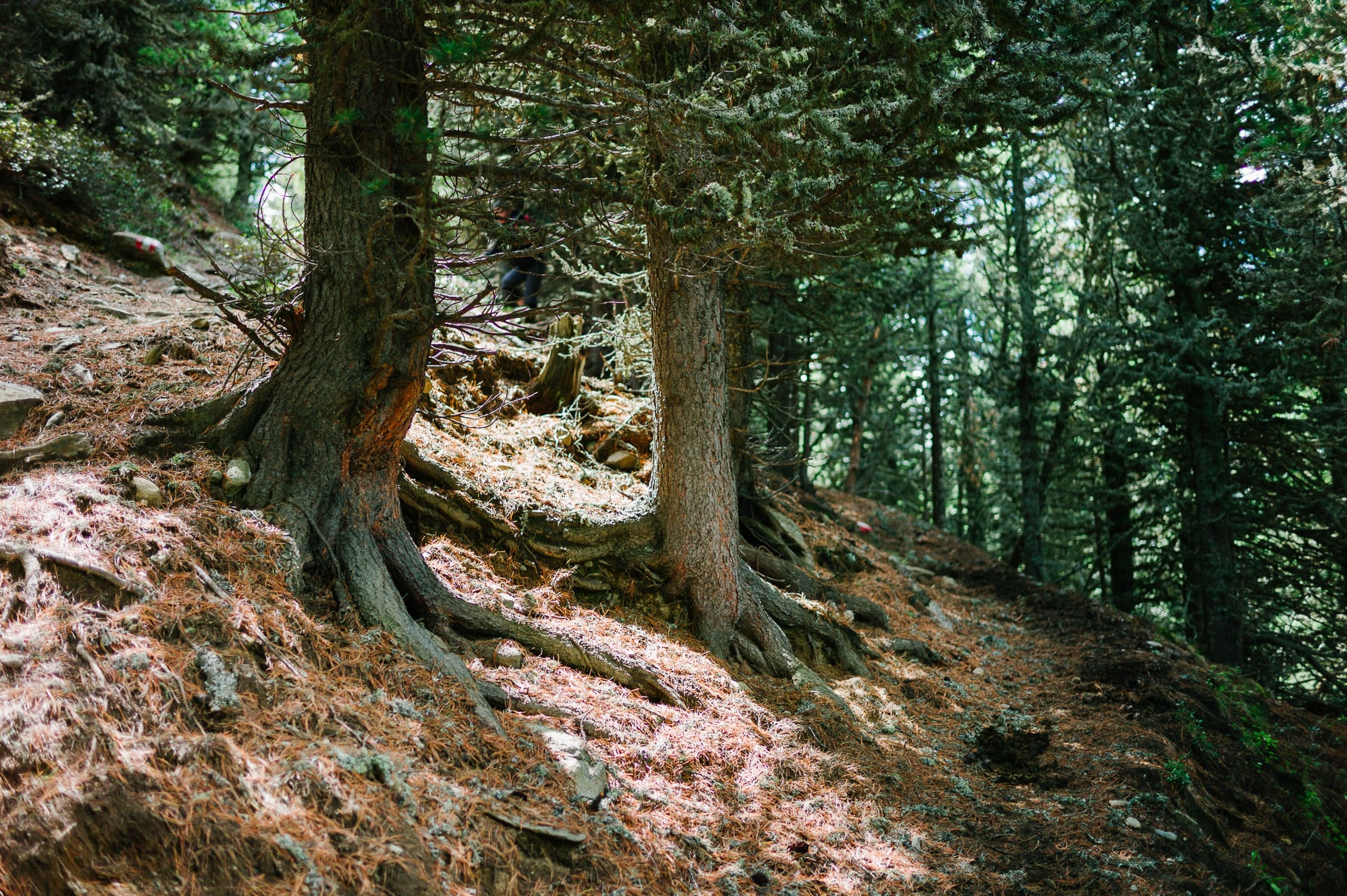
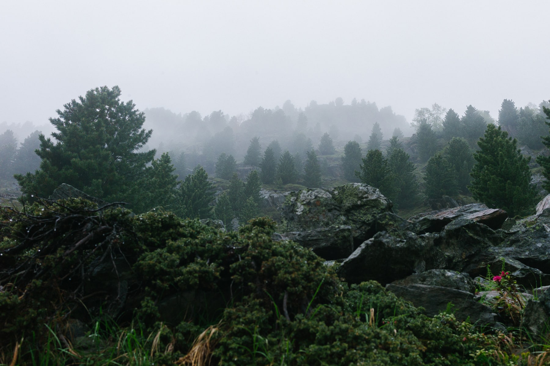
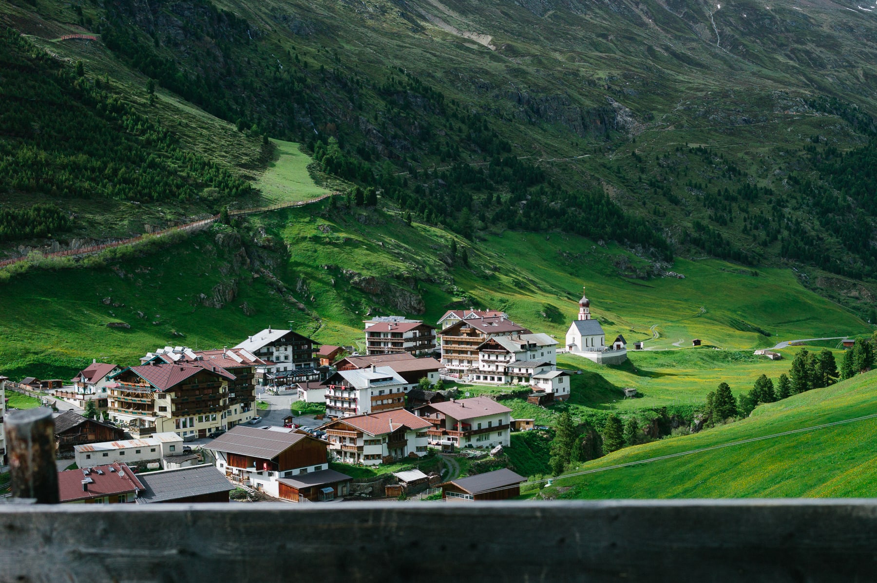
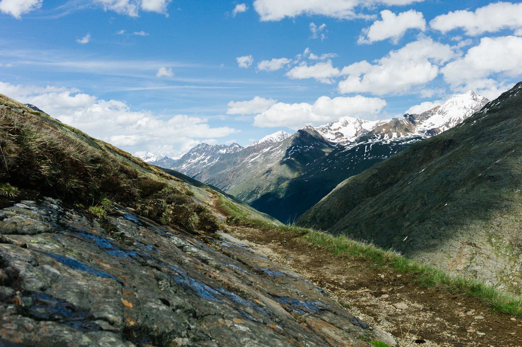
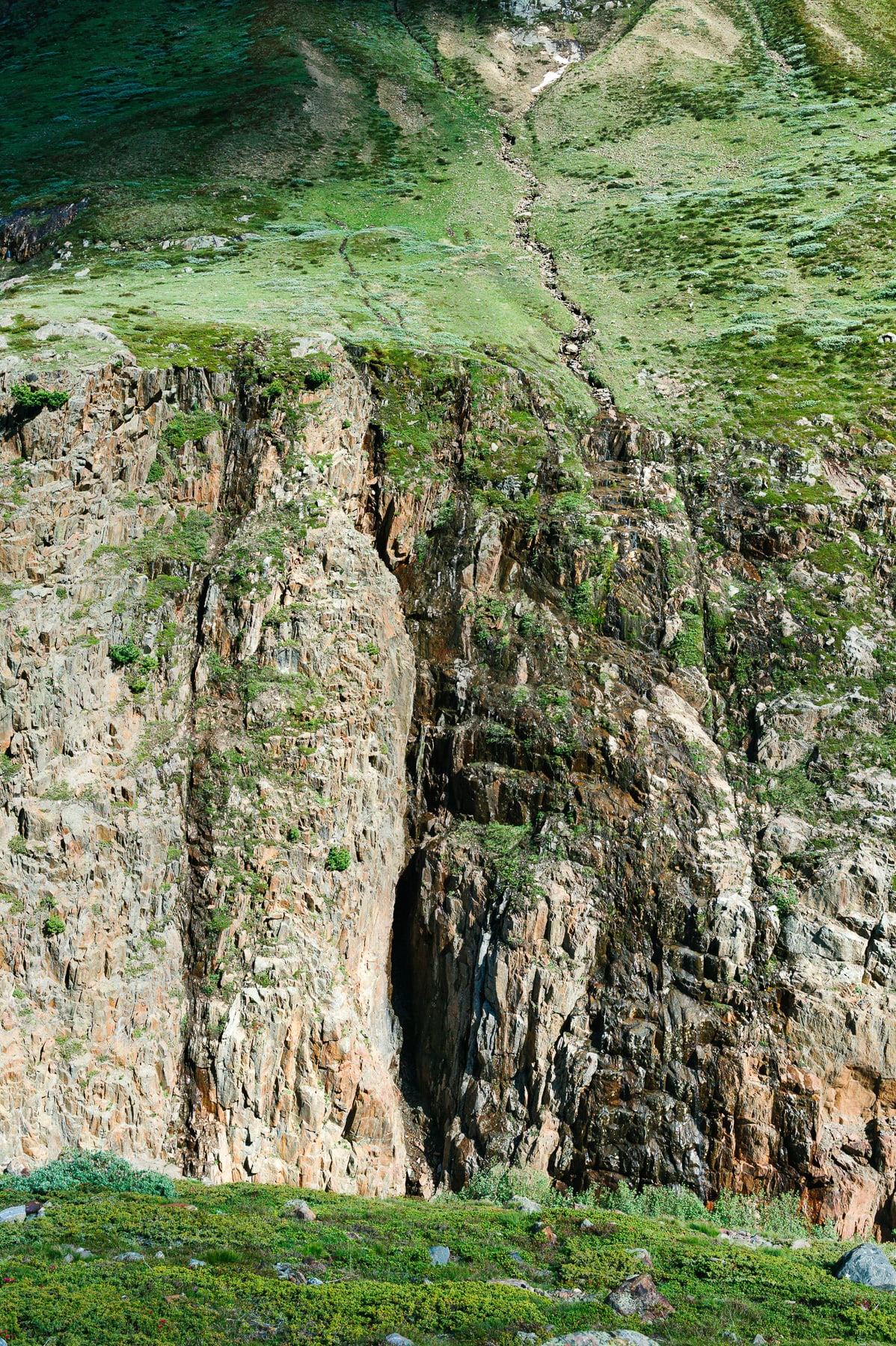
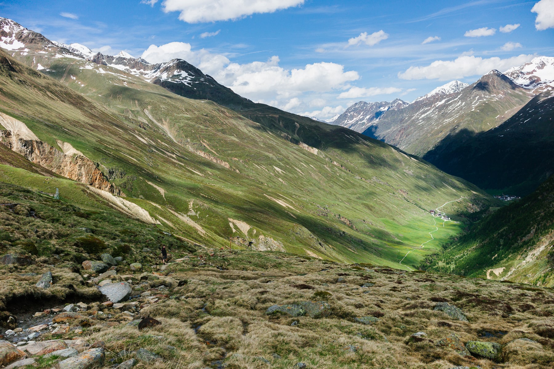
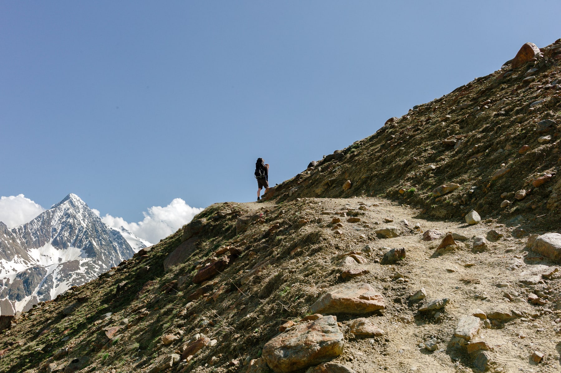
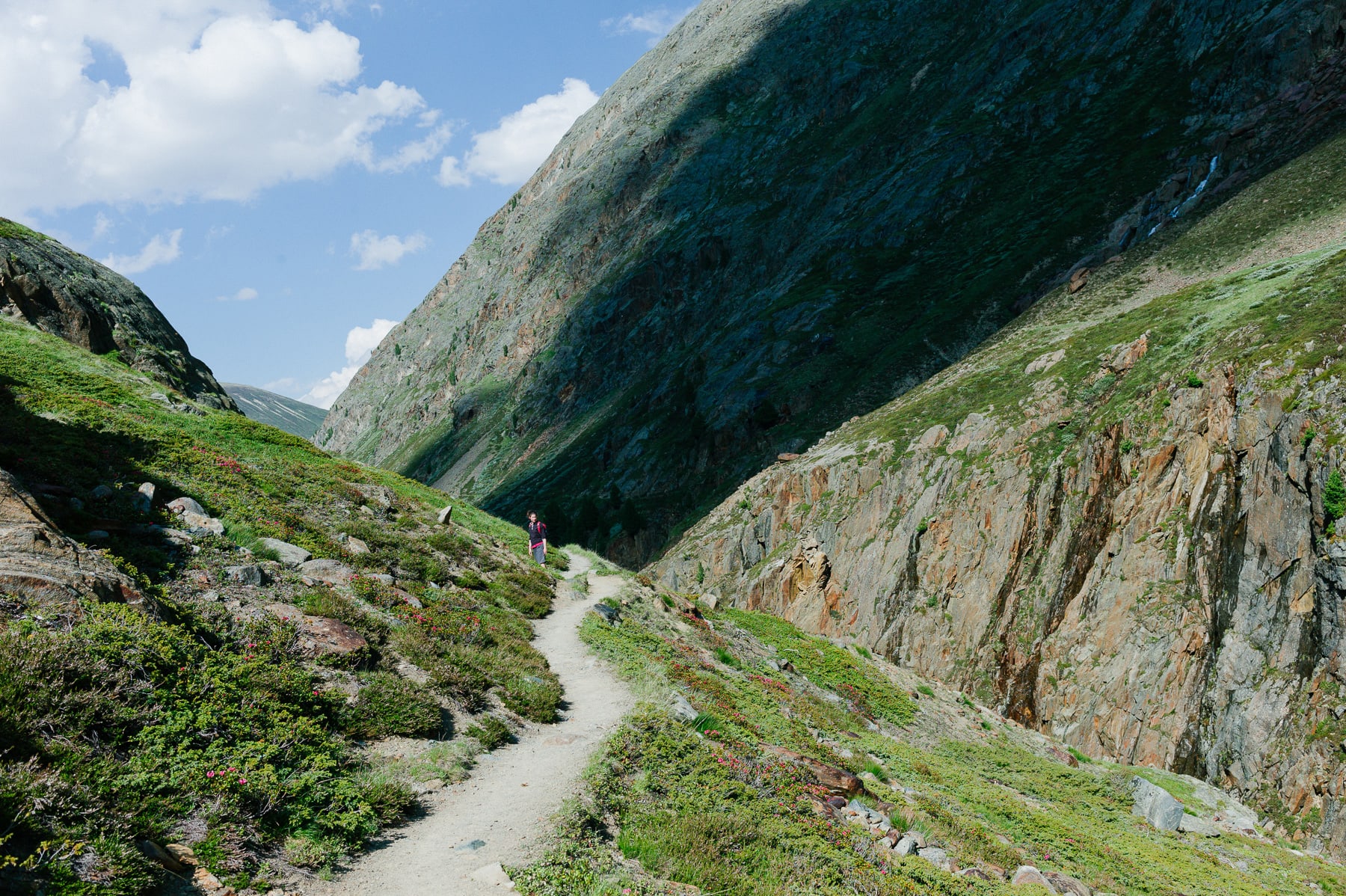
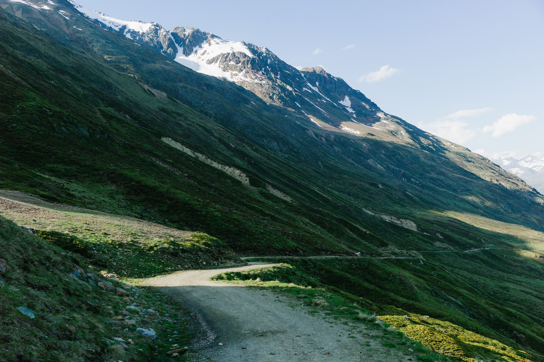
Set at 1,900 m, the village of Vent is surrounded by peaks, among them the Wildspitze at 3,774 m, the highest in Tyrol. There are many hiking trails, narrow and steep, with passages along the edge of the void, and a highly changeable climate.
Vent and the Ötztal valley
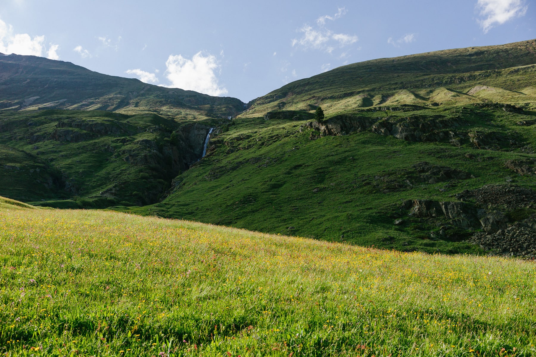
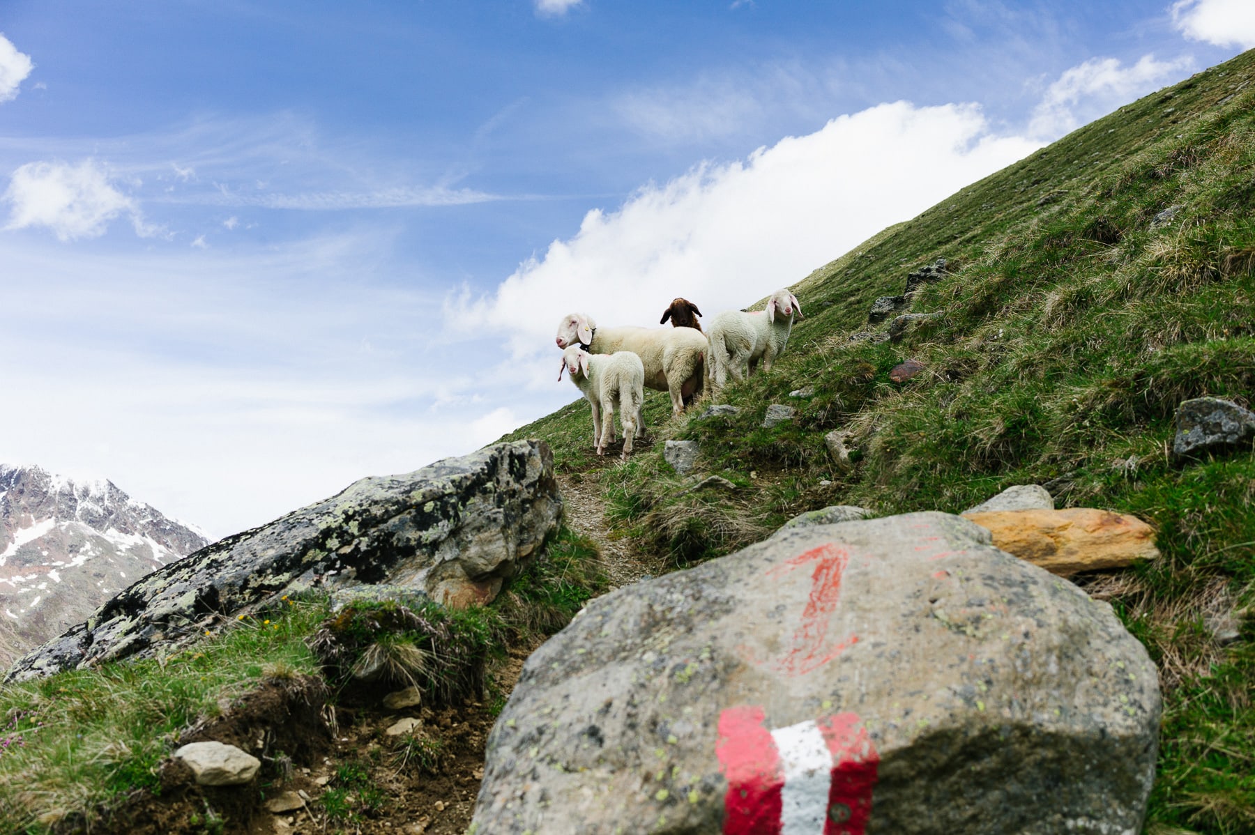
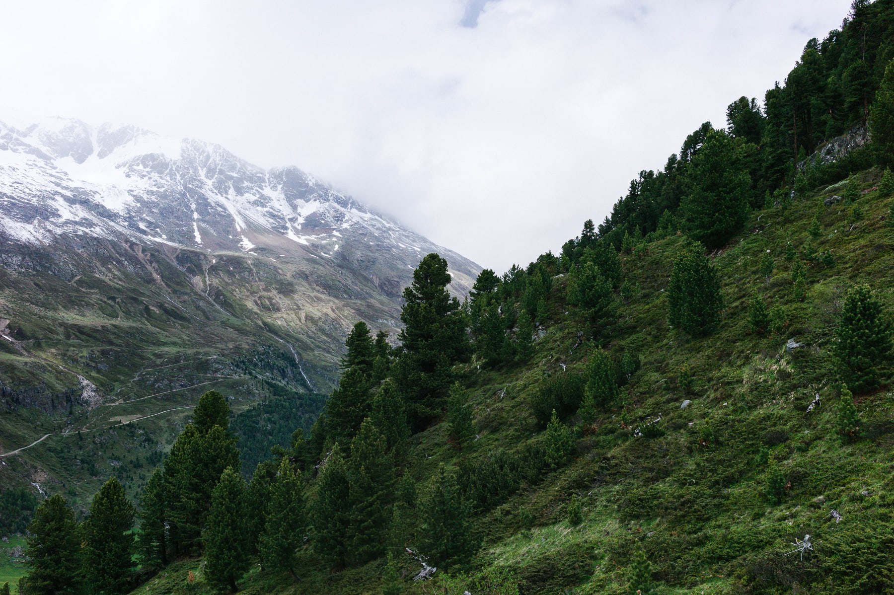
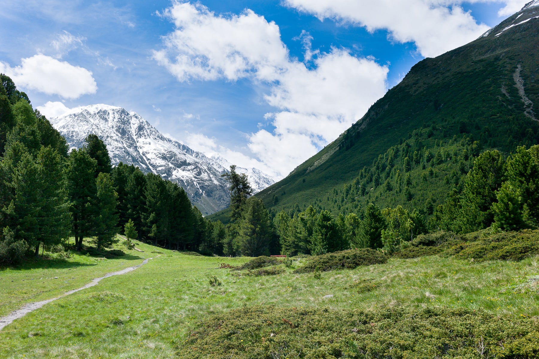
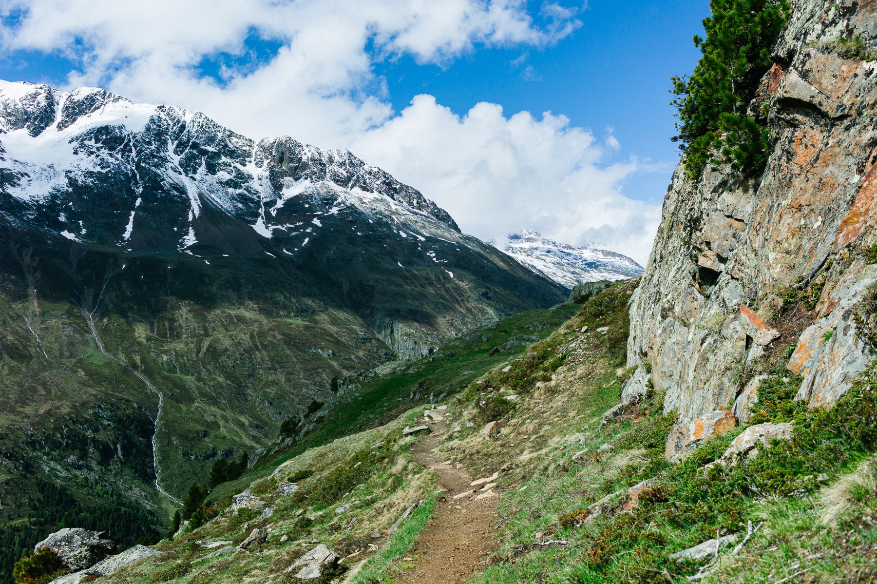
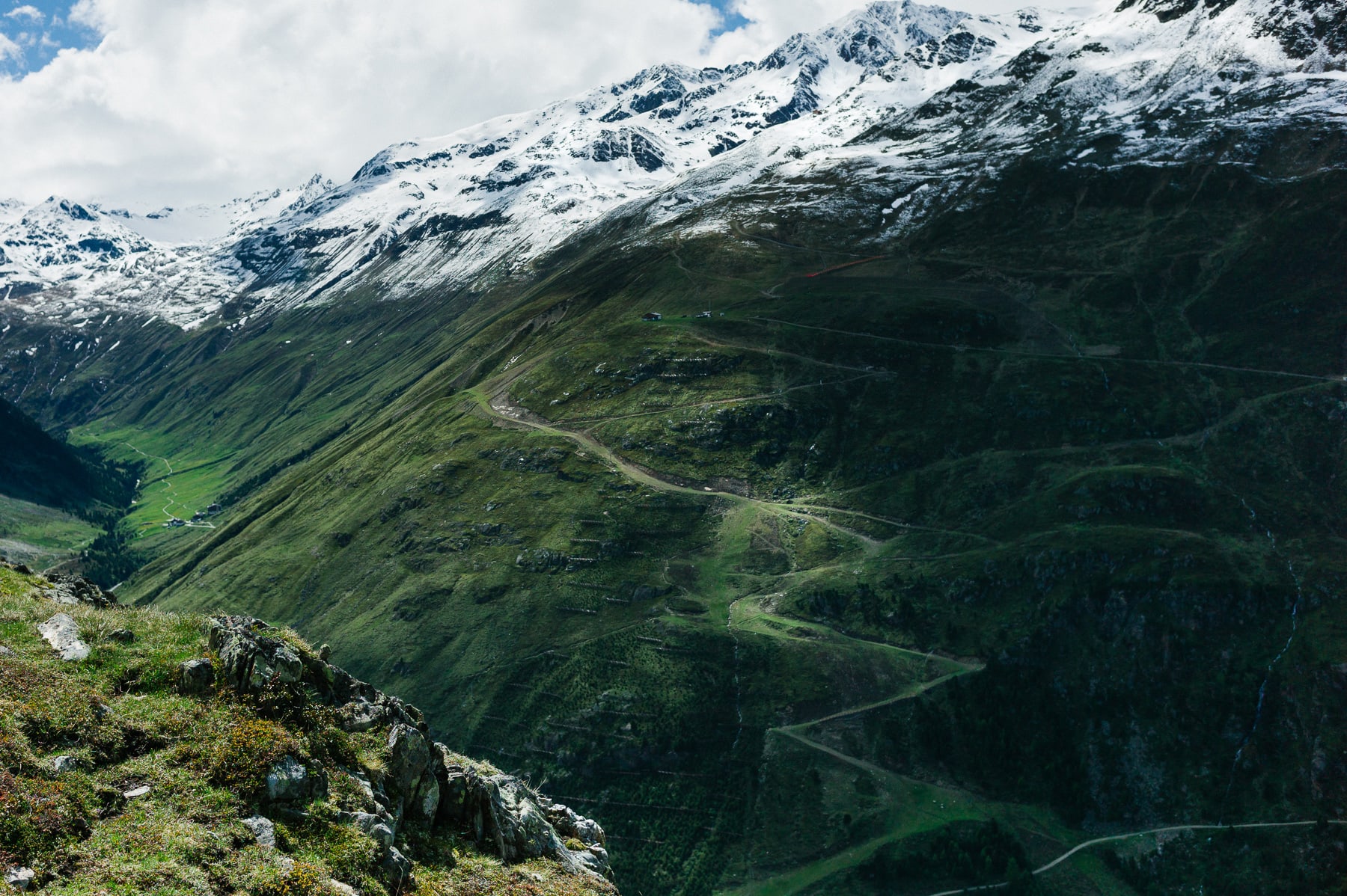
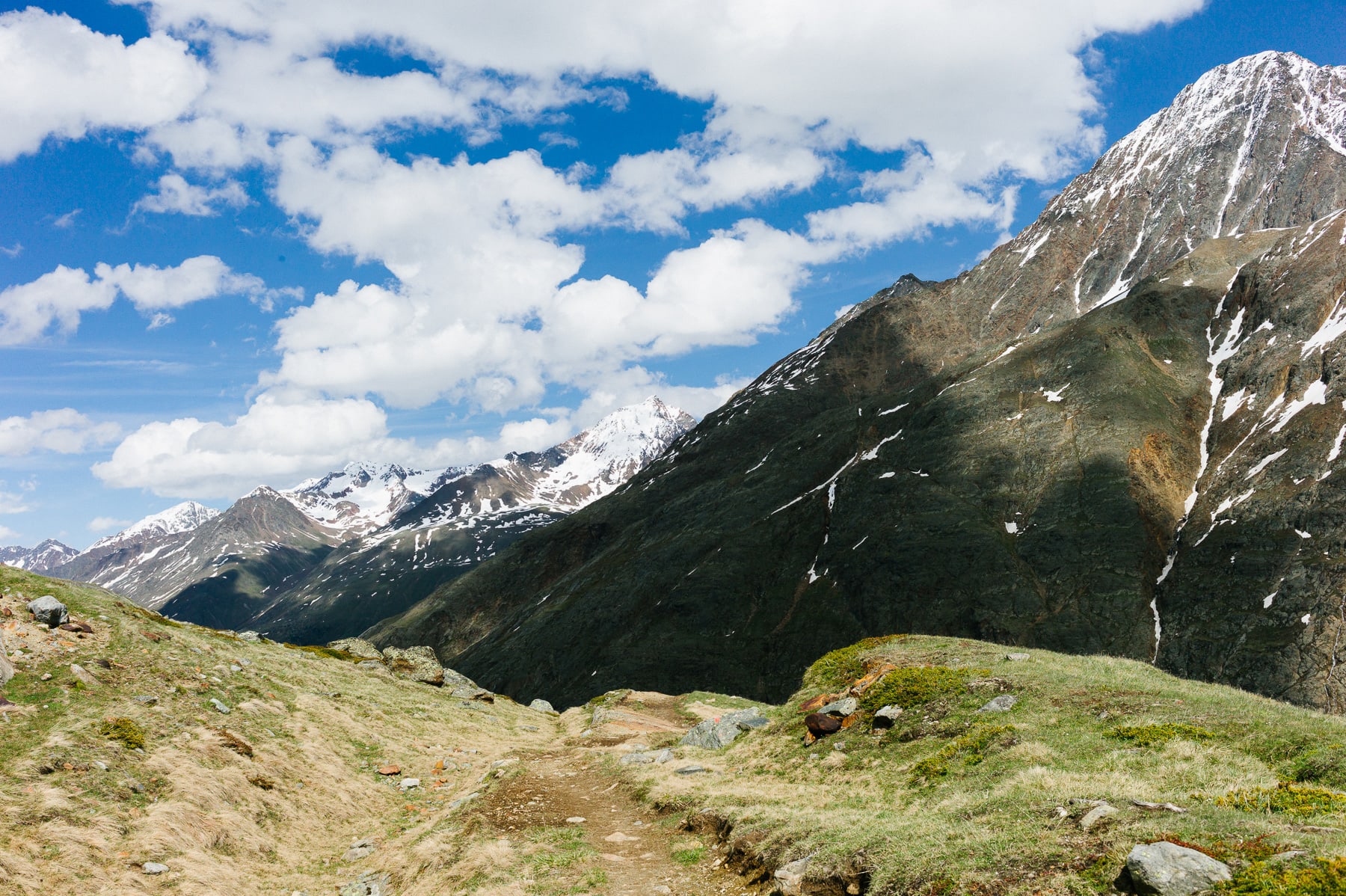
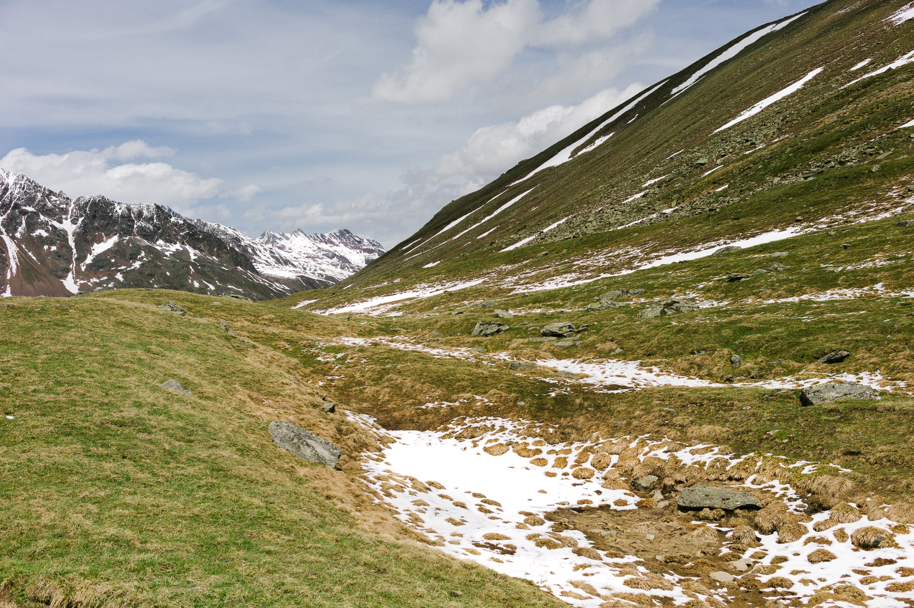
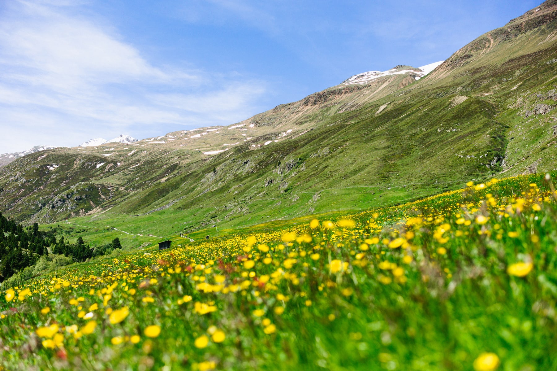
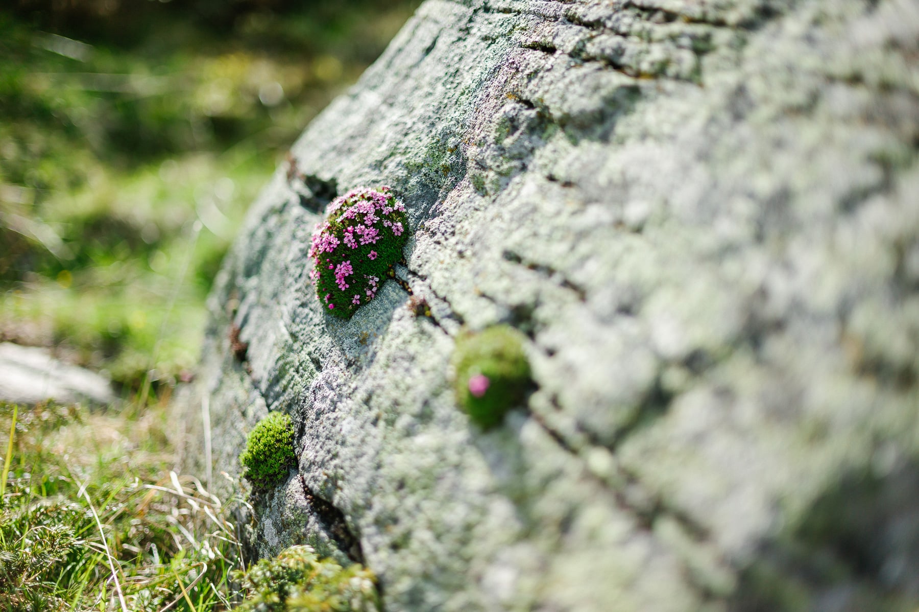
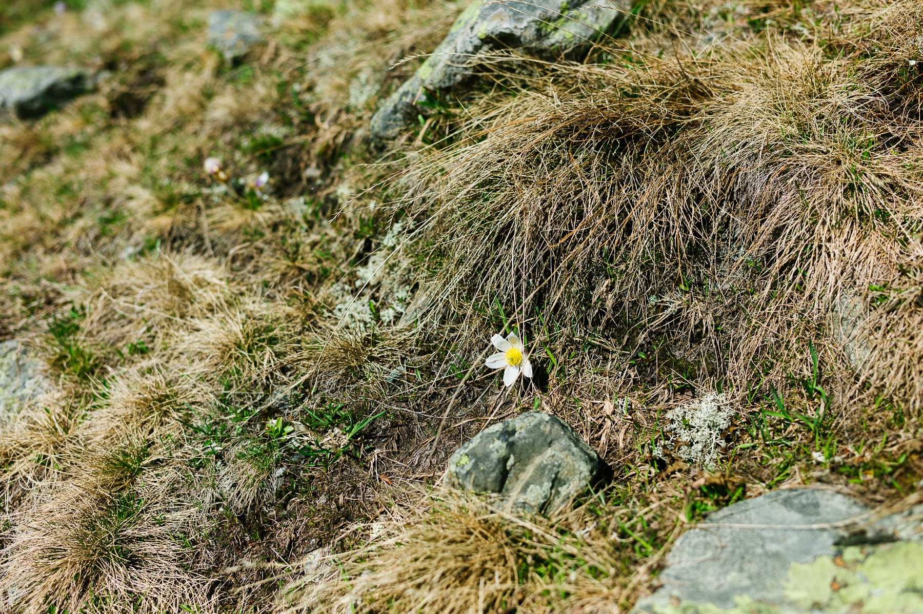
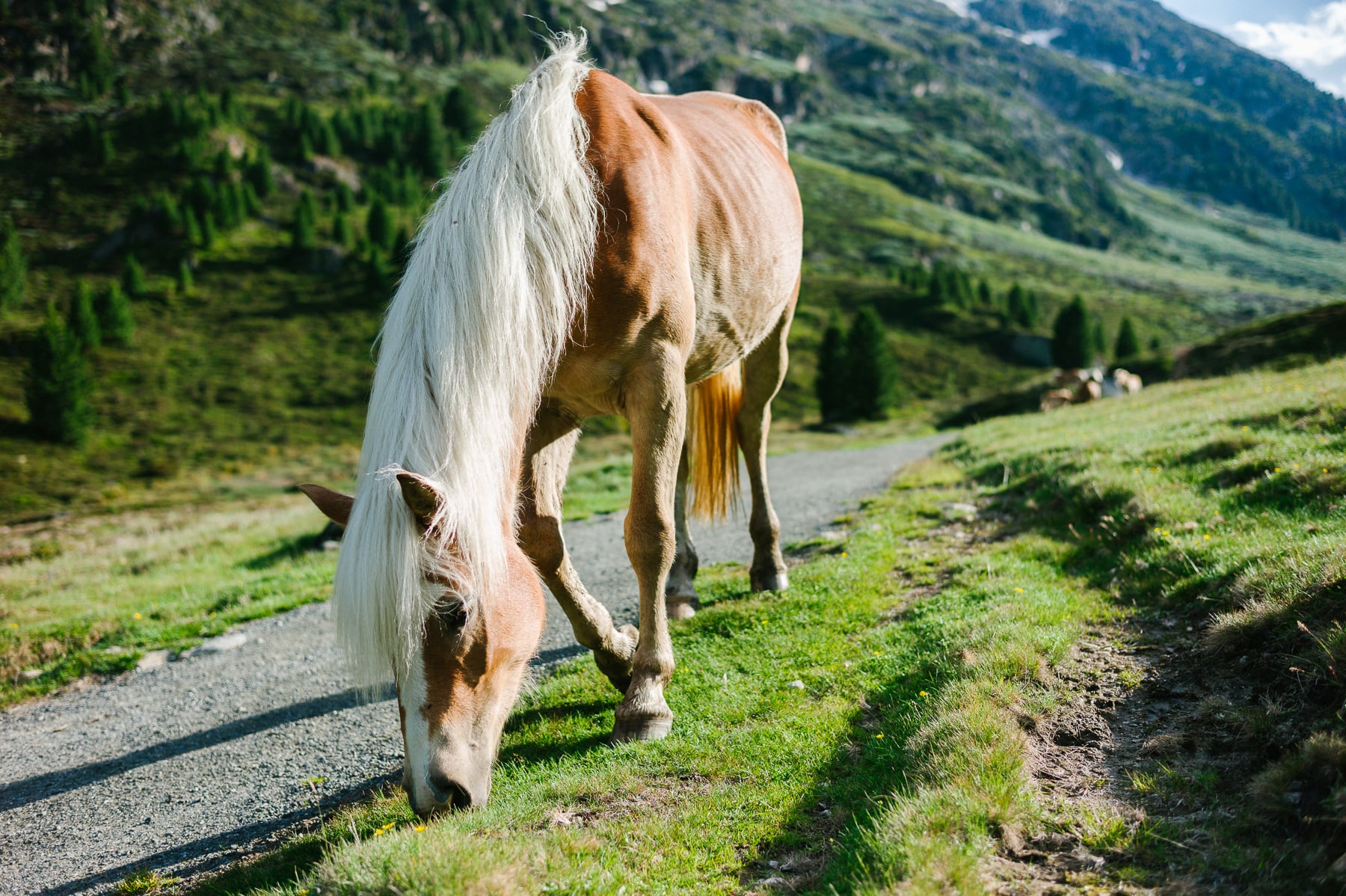
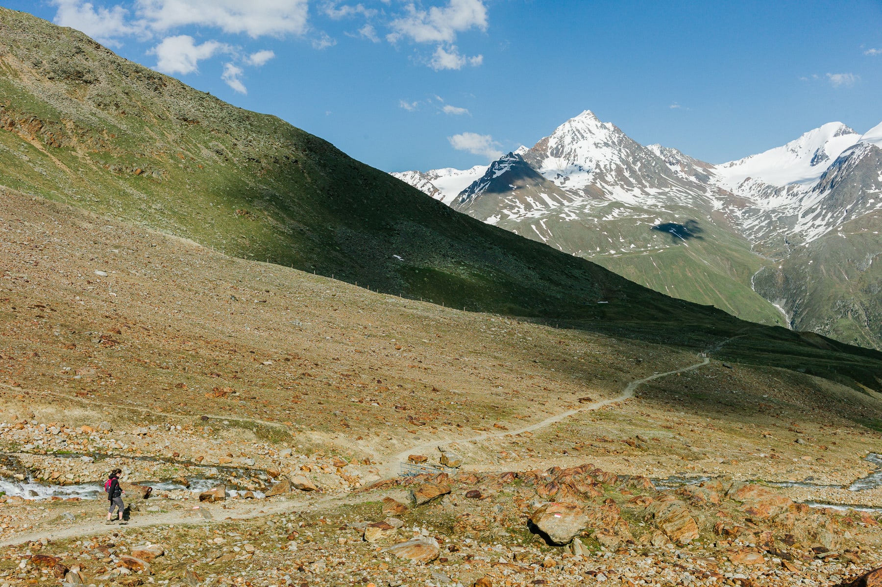
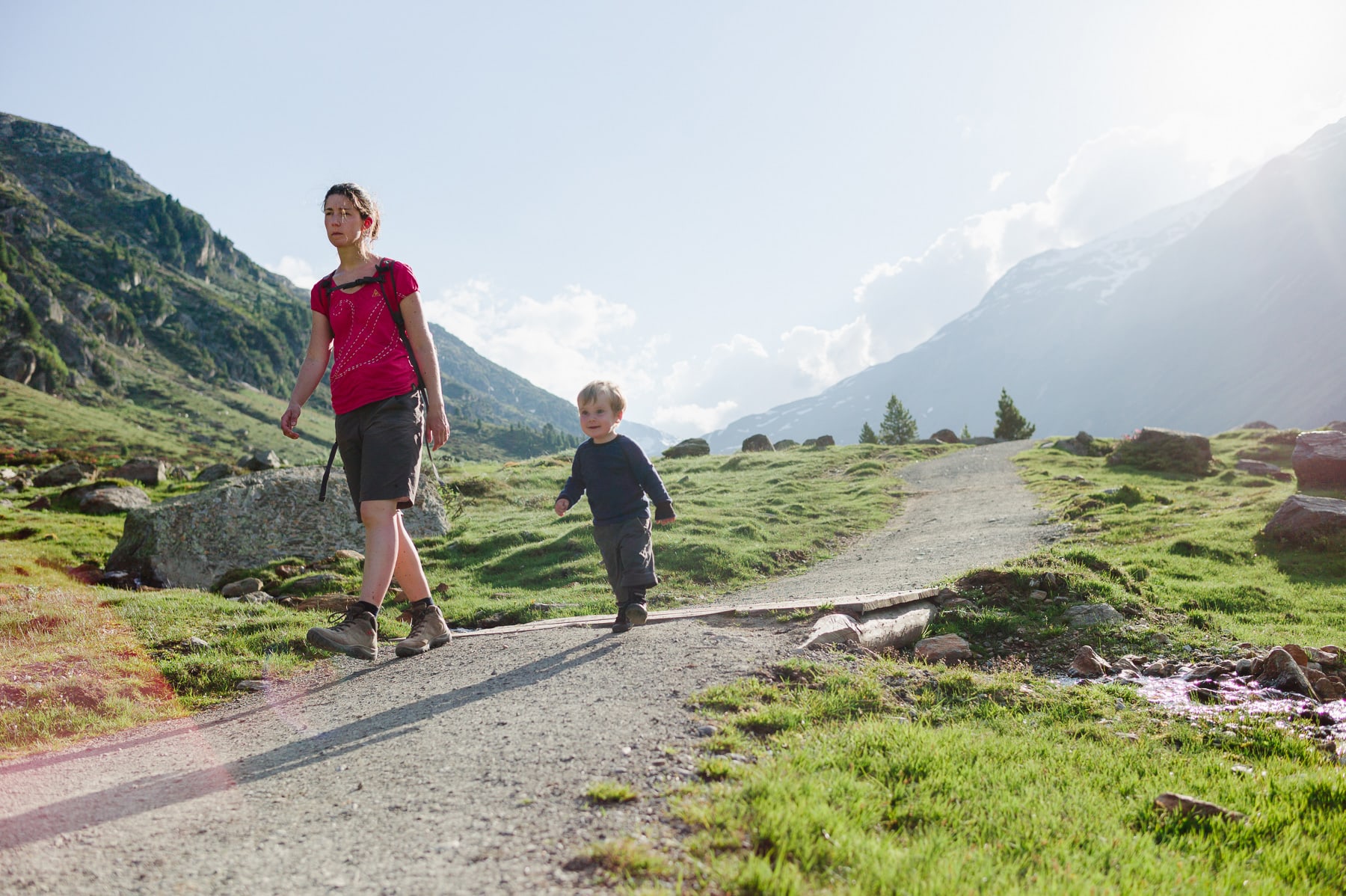
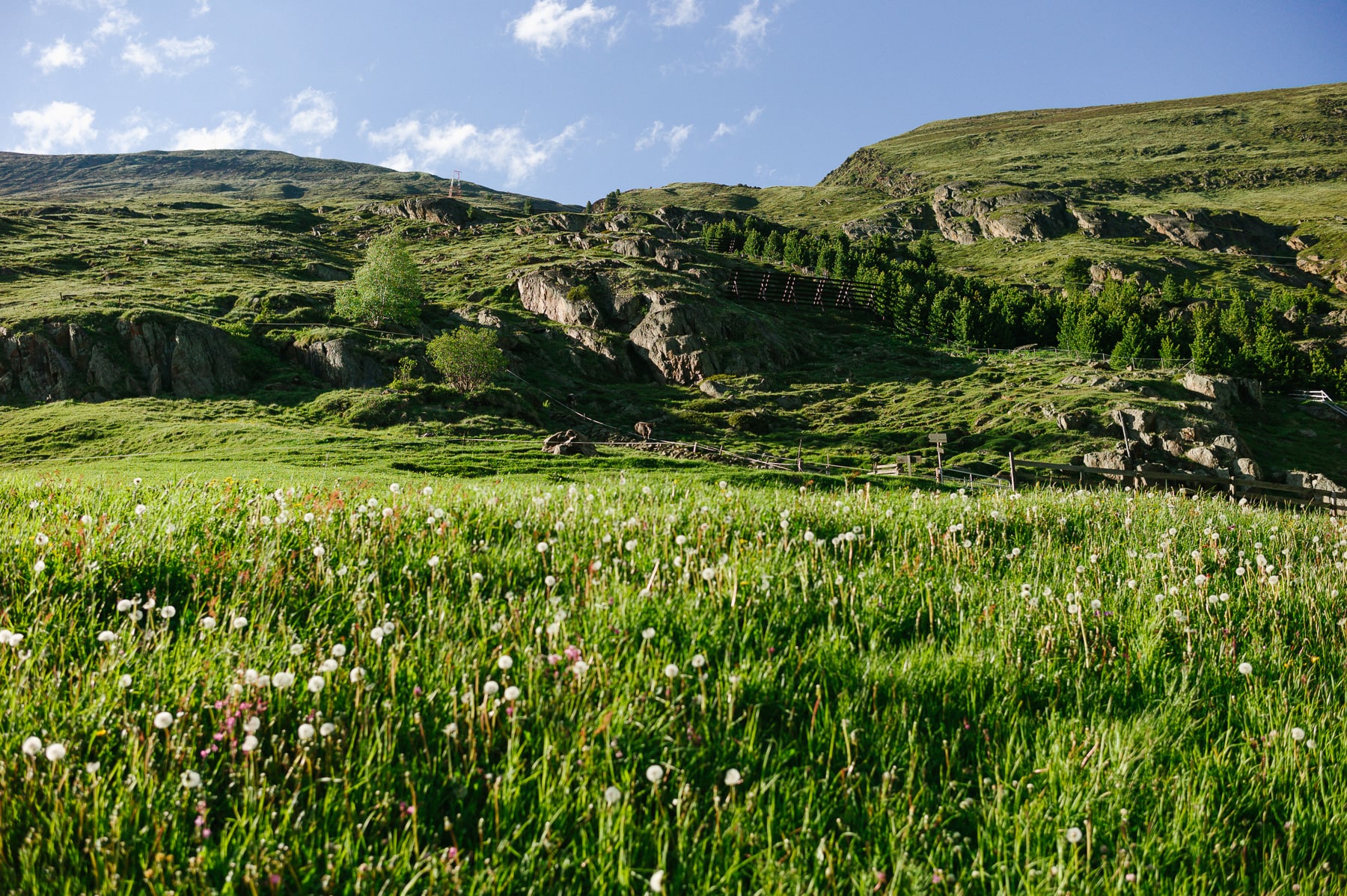
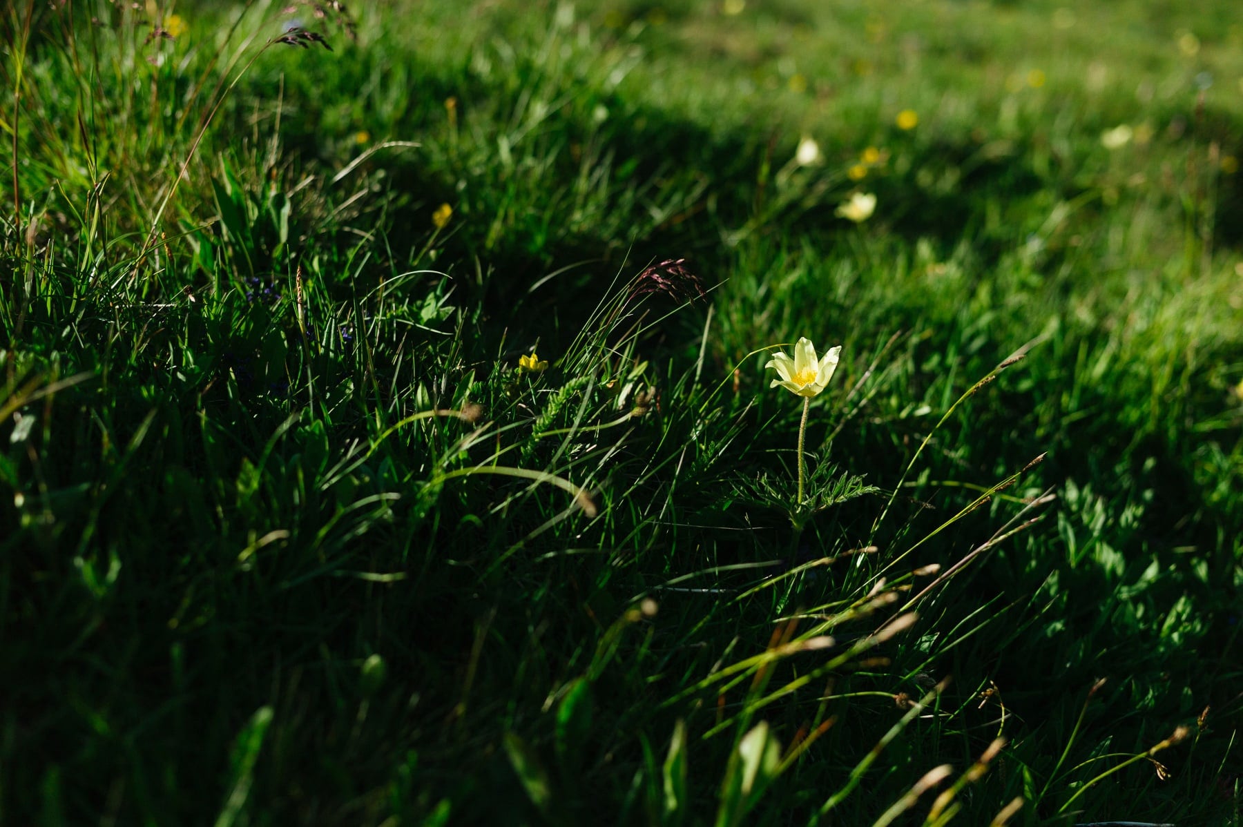
An average of 10 km per trail, with 1,000 m of elevation gain and a round-trip walking time of 6 to 8 hours: Vent is a village for serious hiking. It lies on the southern edge of the Ötztal valley, almost at the Italian border. Surrounded by peaks of over 3,000 m, among them the Wildspitze and the Similaun, it has been a base camp for summit climbing since the nineteenth century. In summer, 3,500 sheep are led to pasture to graze on the flower-rich meadows.
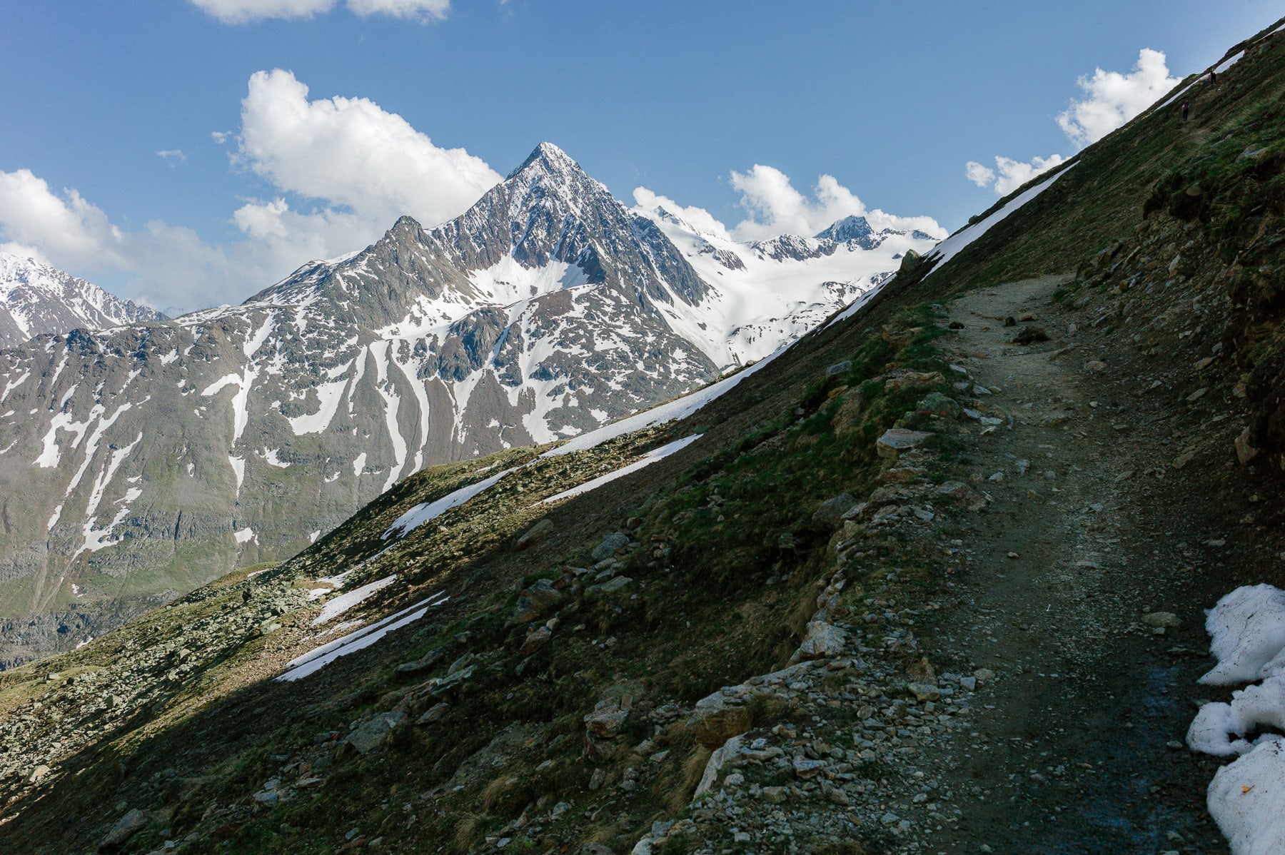
The valley splits on either side of the imposing mass of the Talleitspitze: to the right, the Rofental runs along the Wildspitze and Hochvernagtspitze massif, then is closed off upstream by the Weißkugel; to the left, the Niedertal works its way past the foot of the Ramolkogel and the Schalfkogel before opening onto the cirque of the Similaun. These summits, all above 3,000 m, are so many legendary climbs for mountaineers.

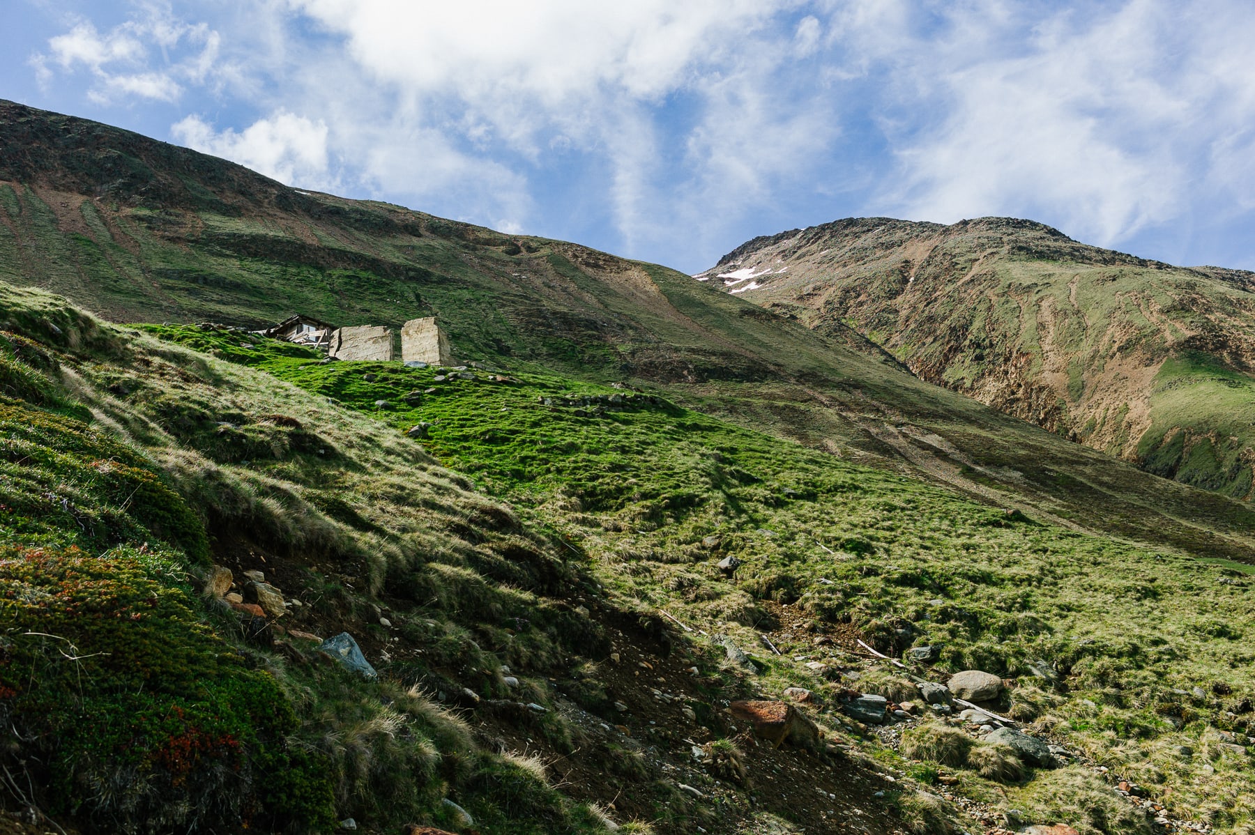
Towards Ramolalm (2,215 m) & Ramoljoch
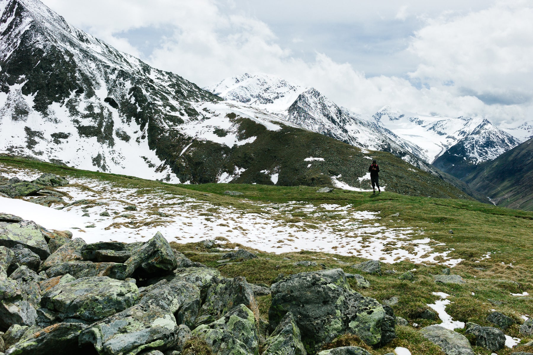
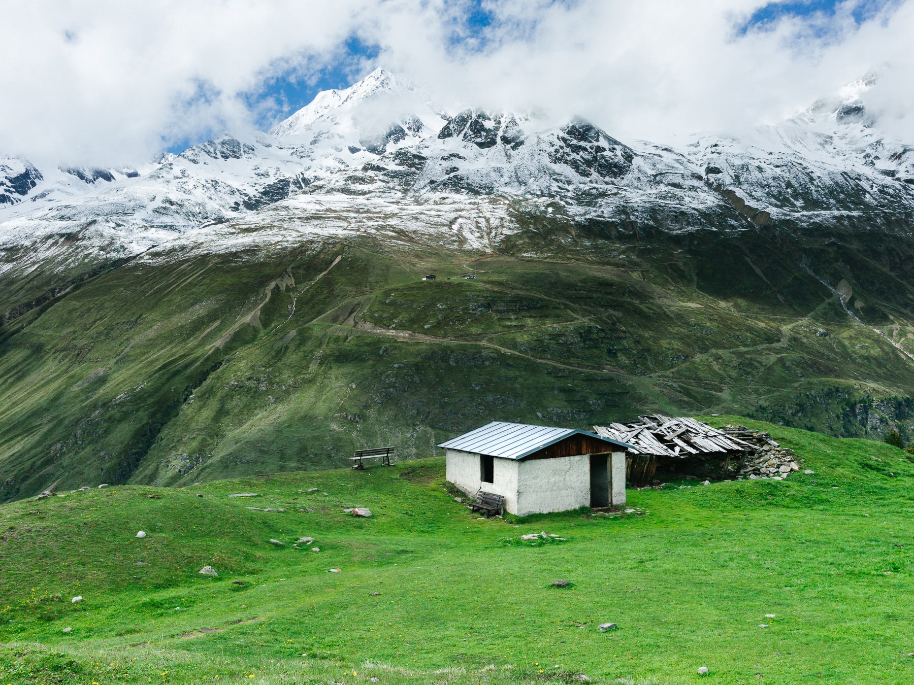
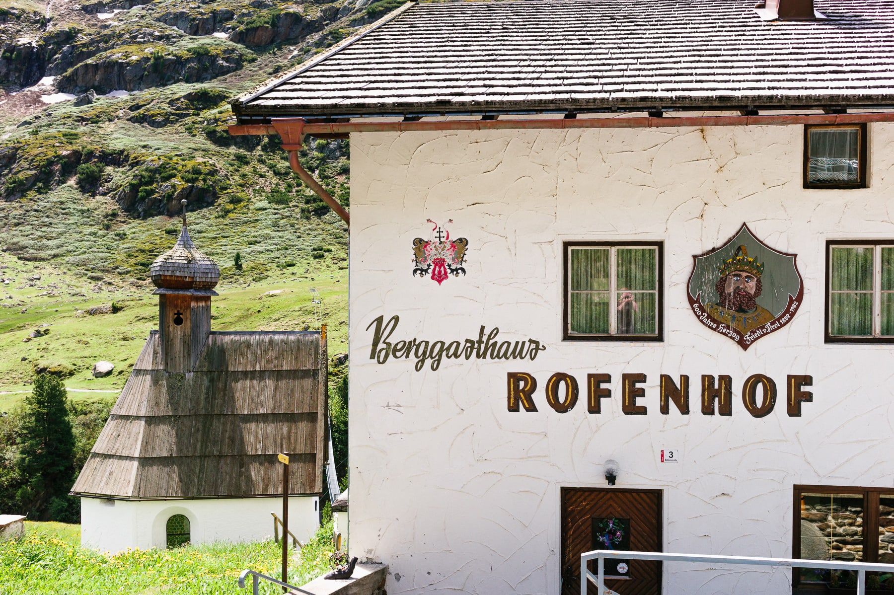
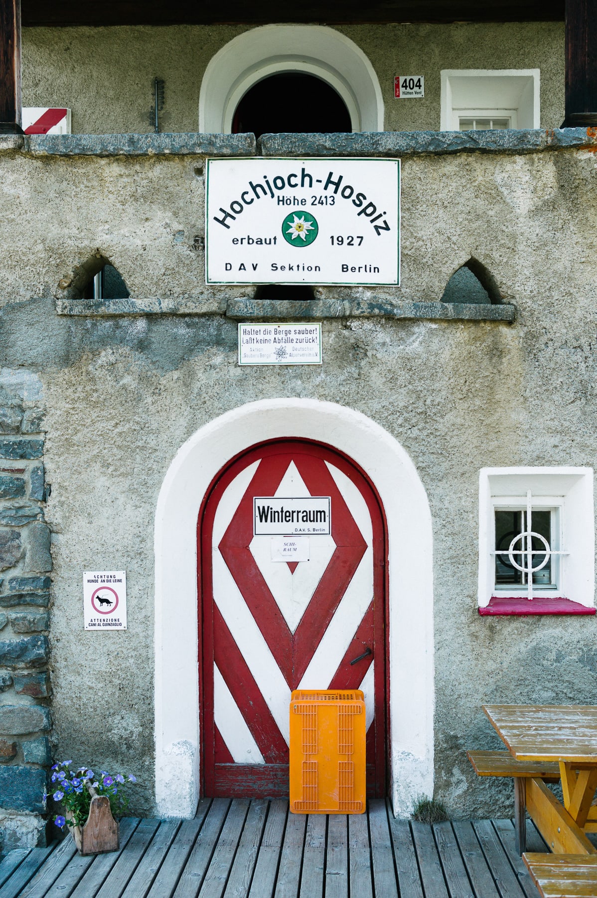
Towards Rofen (2,014 m), Vernagt Hütte (2,755 m)
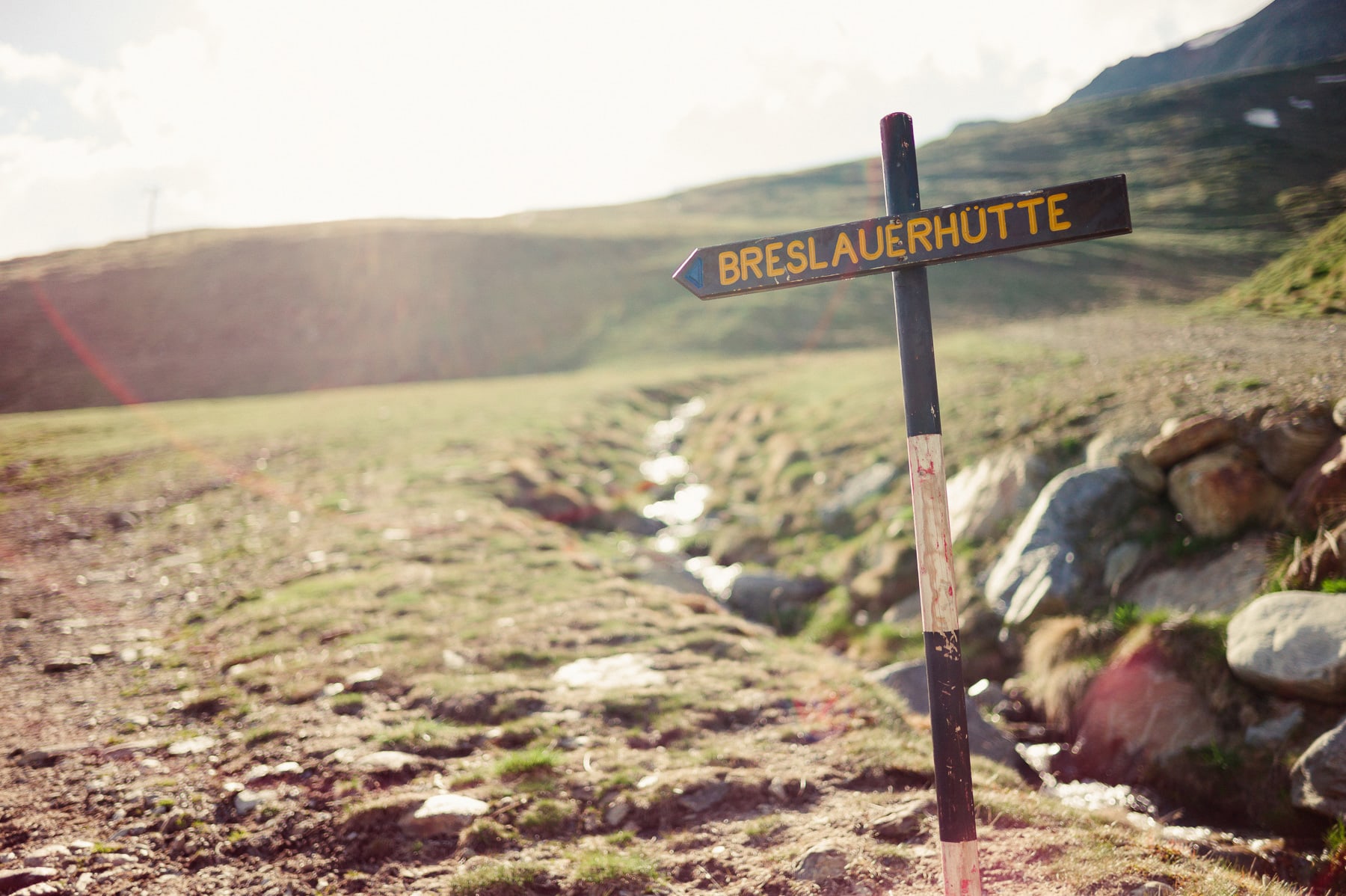
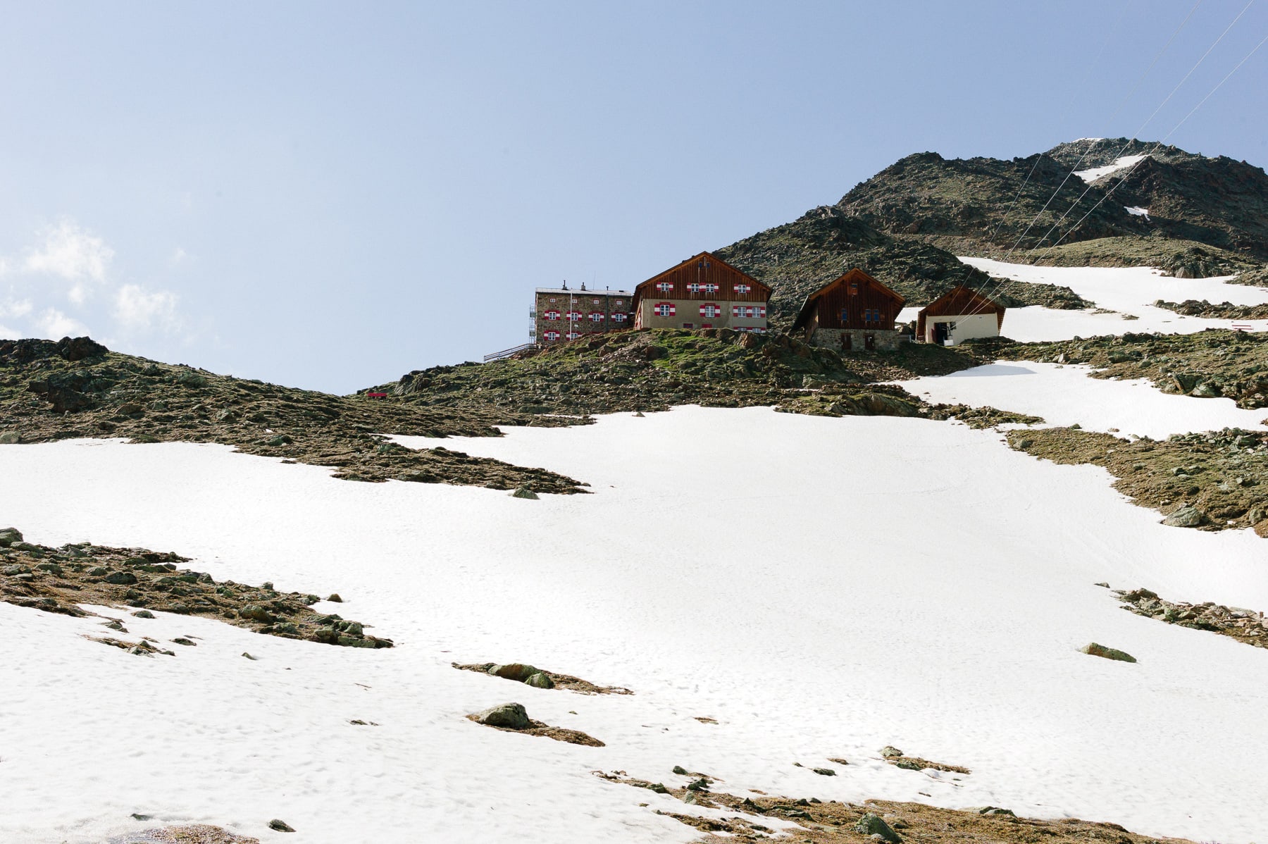
Towards Breslauer Hütte (2,844 m)
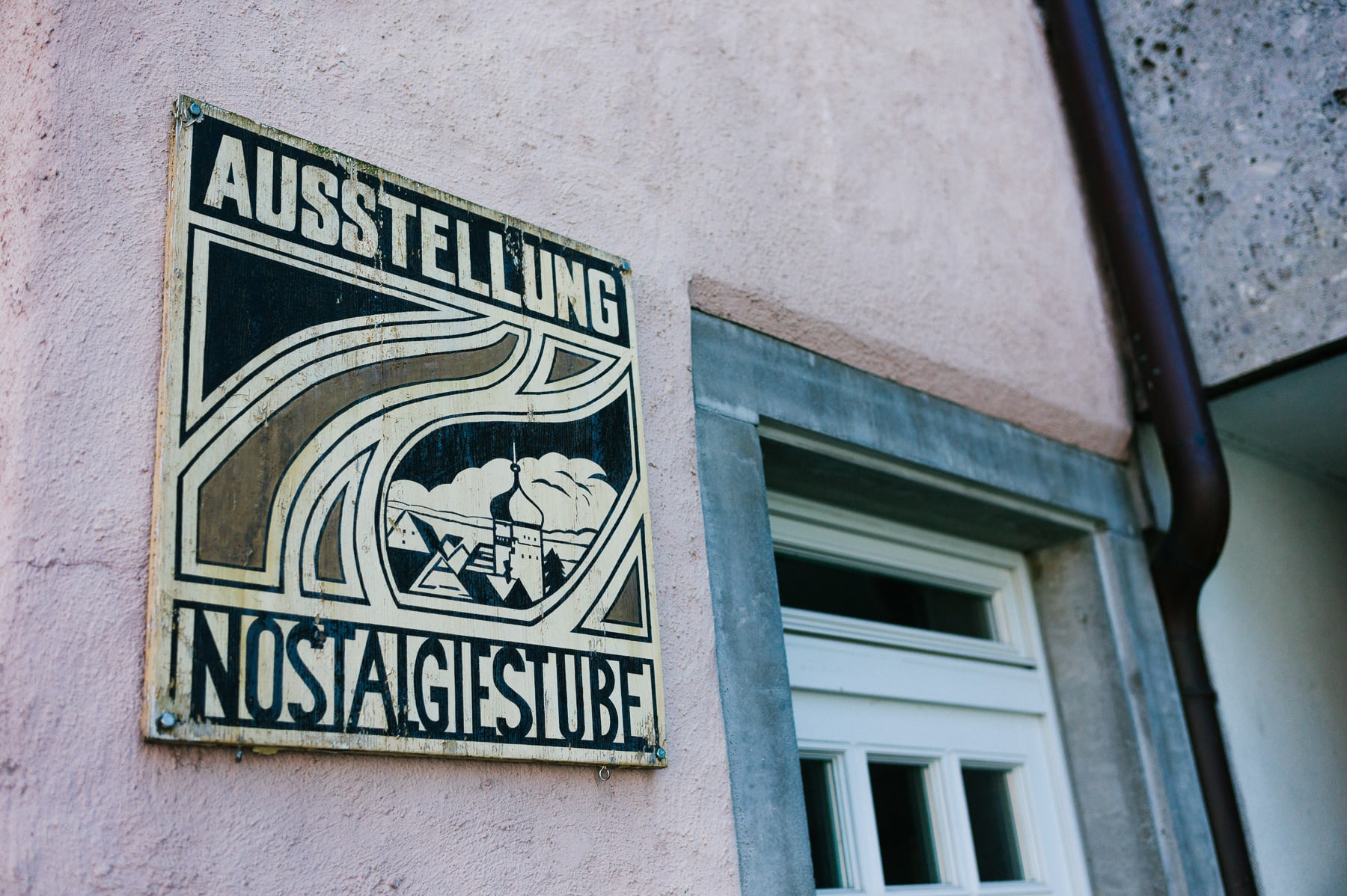
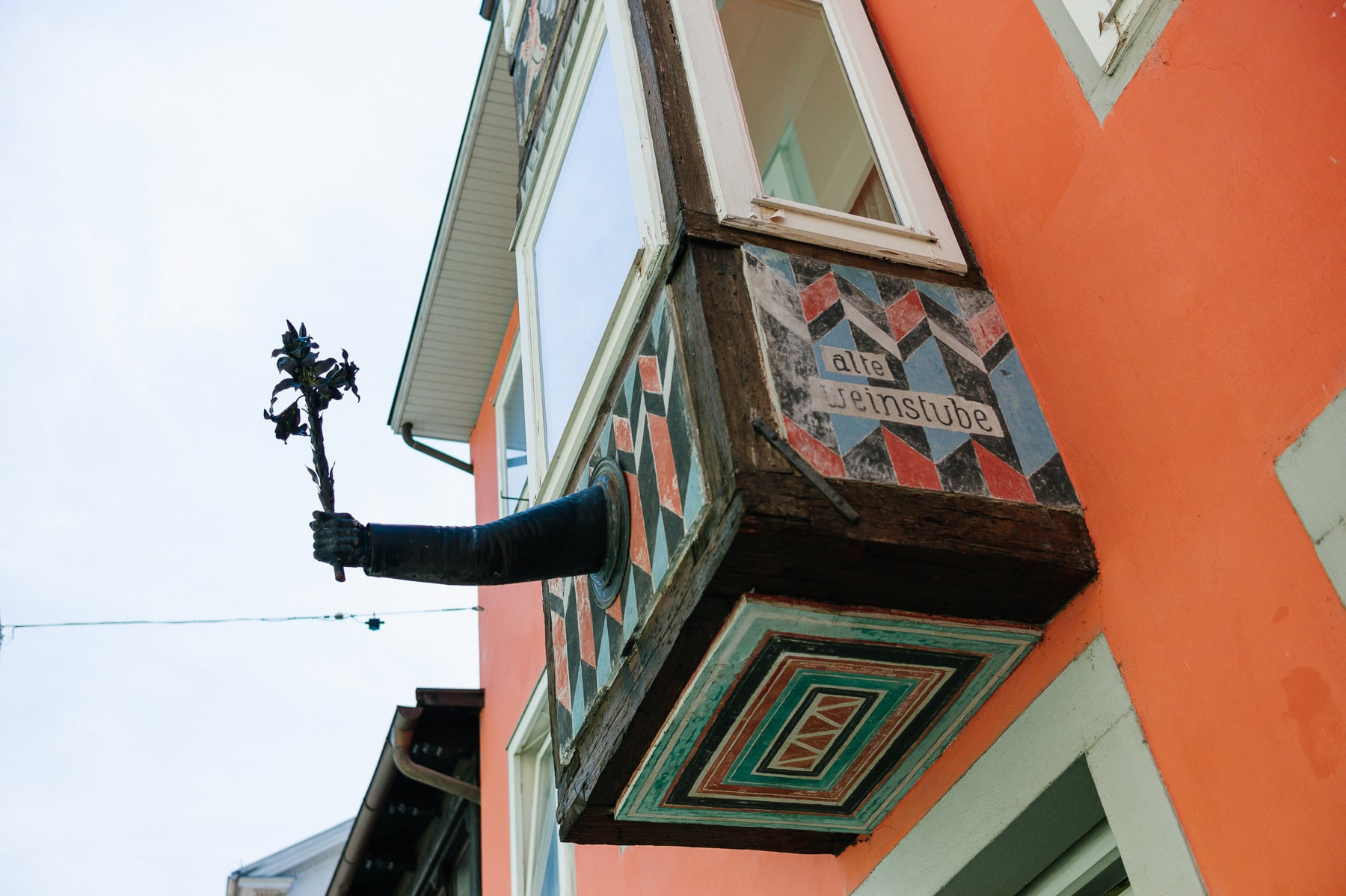
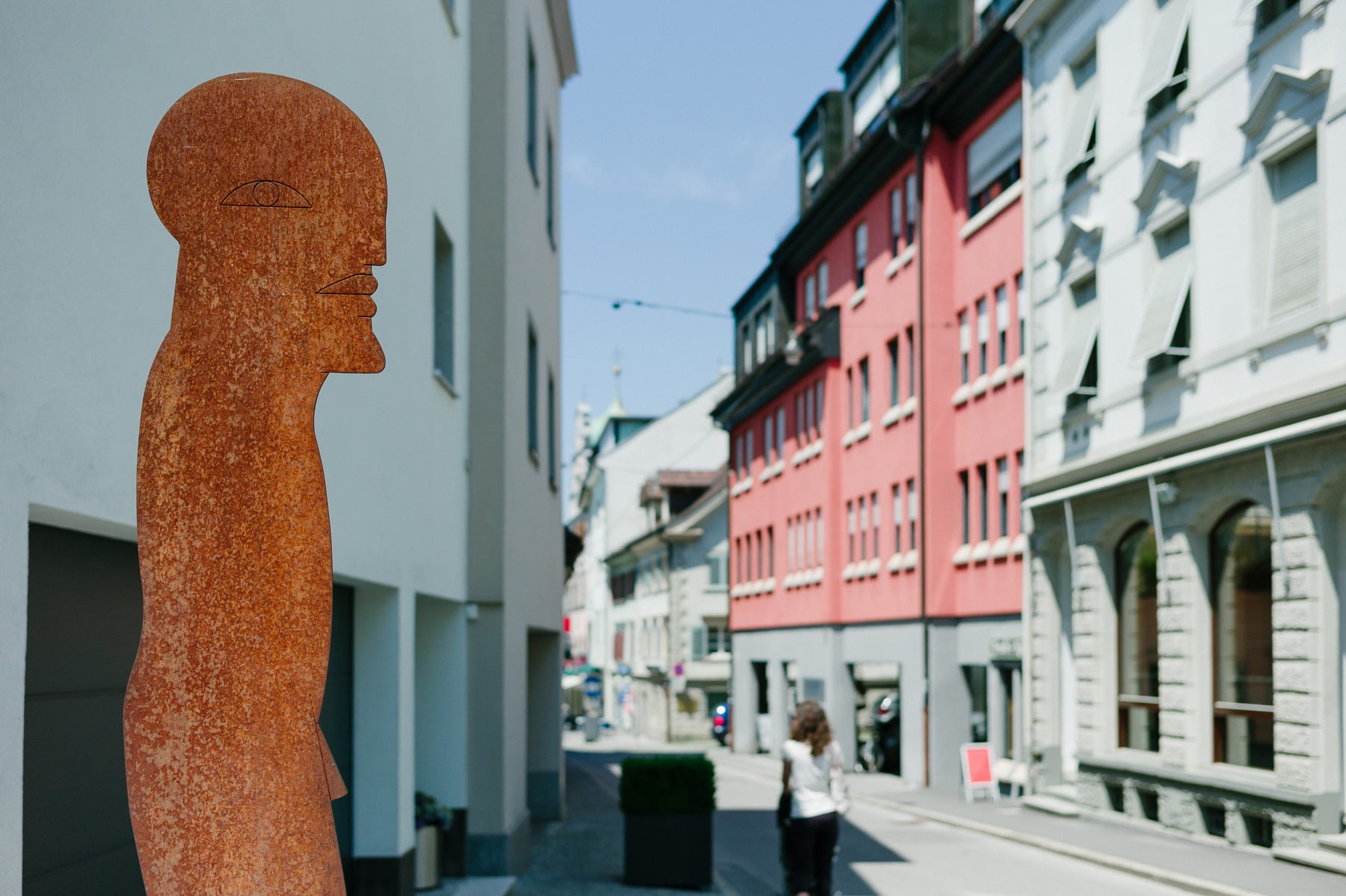
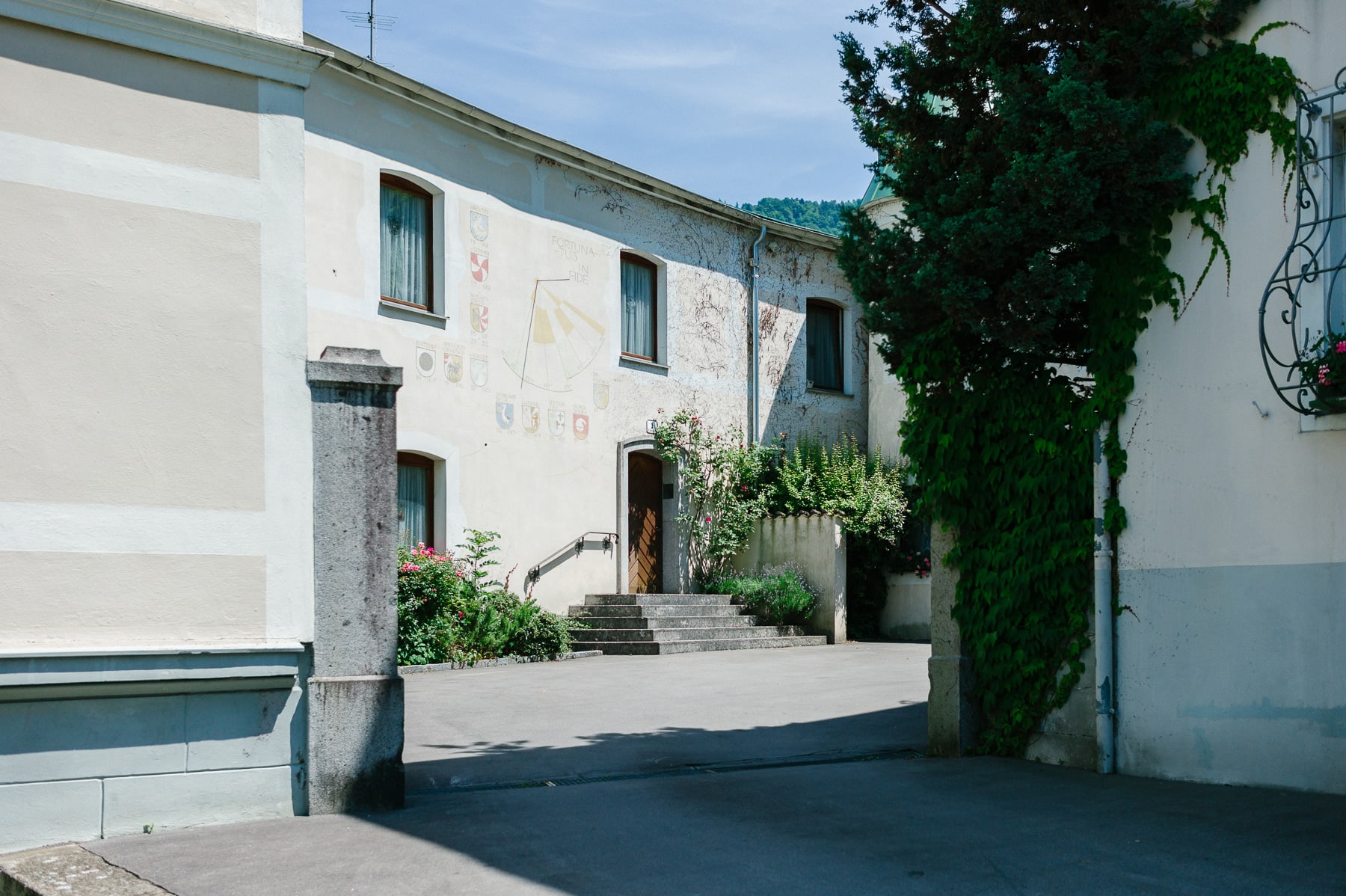
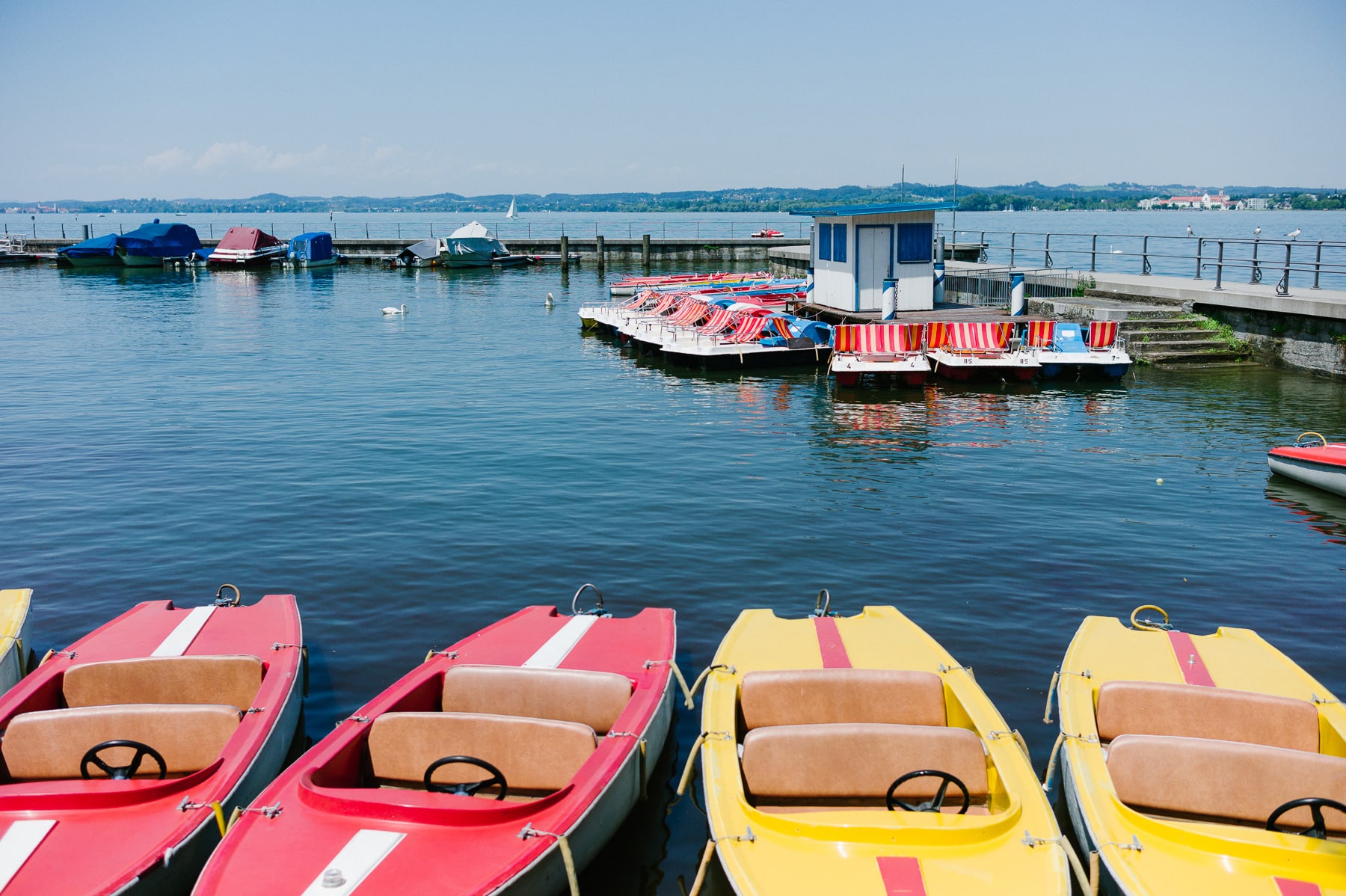
Bregenz
On the way back, a stop in Bregenz, on the right bank of Lake Constance, at the foot of the Pfänder mountain: it is the capital of Vorarlberg. Bregenz lies on the road and waterway of the Rhine valley, at the foot of the Alps. Switzerland is 5 km away, and Germany is closer still.
—
Leica M9, Summilux 1.4 35mm, Summilux 1.4 50mm